
The raised paths - Les chaussées
 ,
,  ,
,  Itinéraire VTC ou VTT
 Départ : Saint-Malo-de-Guersac
 Arrivée : Saint-Malo-de-Guersac

 Departure/Arrival
 Point of interest
Circuit n° 1
- Useful Information :
") Average duration (based on a speed of 4km/hour) 2h15
Average duration (based on a speed of 4km/hour) 2h15 Distance in kilometres 8.8 km
 Point of departure/place of departure Saint-Malo-de-Guersac
 Point of arrival/place of arrival Saint-Malo-de-Guersac
 access depuis Montoir-de-Bretagne, prenez la RD 50 et traversez la commune de Saint-Malo-de-Guersac.
 Marked trail Jaune

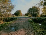
Point 1 - Les prairies humides
ST MALO DE GUERSAC
ST MALO DE GUERSAC

Point 2 - Le Brivet
ST MALO DE GUERSAC
ST MALO DE GUERSAC

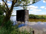
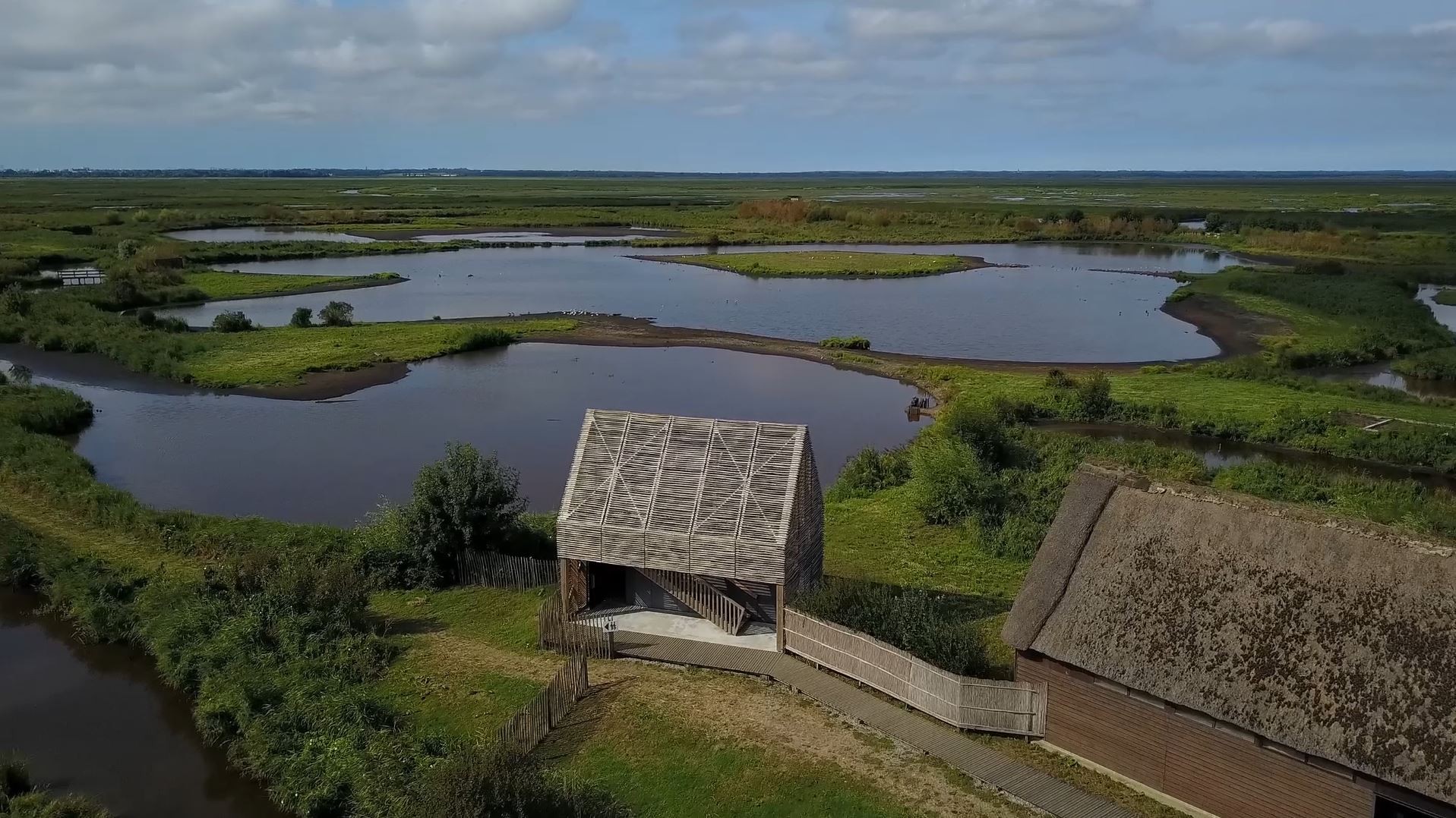
Point 3 - Réserve naturelle régionale des marais de Brière
ST MALO DE GUERSAC
ST MALO DE GUERSAC

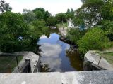
Point 4 - Les écluses de Rozé
ST MALO DE GUERSAC
ST MALO DE GUERSAC
Download
Pics


Suggestions

ST MALO DE GUERSAC
ST MALO DE GUERSAC